In case you missed the last Southwest Valley Community Plans Update virtual outreach event, the team held four Webinars last December to present our Proposed General Plan Land Use Map. The Proposed General Plan Land Use Map is a significant milestone which lays out the vision of the Southwest Valley and guides how the built environment will develop over the next 20 years.
SPECIAL EVENT INFO: The WHWC NC is hosting a Community Plan Update Information session via Zoom on 4/22/21 @ 6:30p. Click here for more information or check the NC calendar.
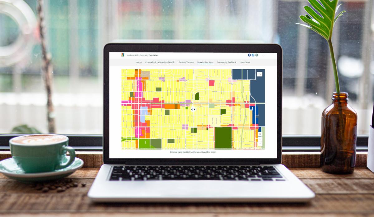
If you were unable to attend one of these webinars, you can find the same information that was shared by visiting our Interactive StoryMap and watching the recorded Webinar Sessions (linked below).
Explore the StoryMap
The Proposed General Plan Land Use Designations and Guiding Principles presented during each webinar can be found on our Interactive StoryMap. The StoryMap allows you to explore the General Plan Land Use Designations proposed for your community through a series of interactive maps that guide you step by step through each Community Plan Area.
Webinar Recording
Canoga Park – Winnetka – Woodland Hills – West Hills Webinar 12/10/2020
Submit a Comment
We strongly encourage you to fill out the Community Feedback Survey as it contains guided questions that would further influence the future draft plan. In addition, you can also drop general comments on the proposed Plans at the parcel by parcel level directly onto the Interactive Comments Map.
Community Feedback Survey
Comment Map
We appreciate and value your contributions to the Southwest Valley Community Plans Update. If you have any further questions, please email us at planning.swvalley@lacity.org.